
Edgewater Neighbors by Block
Public records can describe an Edgewater block, but they do not publish a complete list of everyone who lives there. Start with geography. The parcel map identifies nearby lots, then the Property Appraiser connects each parcel to its assessed owner, legal description, and mailing address. City maps and files add district, land-use, permit, or code context. Voter records and community associations have much narrower access rules.
| Source | What It Shows About a Block | Access |
|---|---|---|
| City and county GIS | Parcel edges, streets, lot lines, city limits, districts, and map layers | Free web maps; city or county data request fallback |
| Property Appraiser roll | Assessed owner, situs, mailing address, legal description, parcel keys | Free Public Access; DeLand office and phone |
| Voter records | Lawfully released registration fields at disclosed addresses | Individual identity lookup or formal Supervisor request |
| Edgewater permits and code files | Projects, inspections, notices, hearings, and compliance events | Known-number tools or public-record request by address |
| Community associations | Public contacts, events, and community identity, not a guaranteed member roster | Association public page or direct inquiry |
An assessed owner can be a person, trust, company, or government body. A matching situs and owner mailing address, especially with a homestead exemption, is evidence consistent with owner occupancy. It does not name renters, family members, or other occupants. A mailing address outside Edgewater is useful for contacting an owner, but it does not show who lives on the parcel. Keep every conclusion as narrow as its source.
Map Nearby Edgewater Parcels
Edgewater's One-Stop GIS shows property services, current city notices, Council districts, zoning, and related city information. It also links maps for corporate limits and annexations, future land use, development, parks, code cases, and other topics. County GRM mapping accepts an address, tax parcel number, or street name. Results appear at left, and layers can add land-use or zoning context.
The Volusia basemap service includes address points, street names, parcels, parcel text, lots, cities, boundaries, and water. The source view below shows the parcel-and-street service behind that geography.
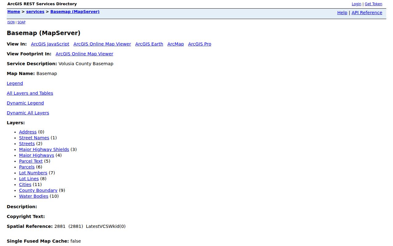
The map is illustrative, not a survey. Use it to select adjacent parcels, then confirm identity and ownership in the official parcel record.
Walk an Edgewater Block Outward
Use visual adjacency rather than an invented radius. No public city instruction verified a buffer tool. The sound block method includes parcels that share an edge with the starting lot and the lots directly across the street. Pan through the same map view so the geographic relationship stays clear.
- Search one Edgewater address in the city or county GIS and zoom until parcel or lot lines are visible.
- Select the starting parcel and copy its Parcel ID or Alternate Key. If the popup lacks an owner, carry that key to Property Appraiser Public Access.
- Click each parcel sharing an edge, then the parcels opposite the street. Record identifiers before opening separate parcel cards.
- Compare situs address, assessed owner, mailing address, legal description, and exemption fields without treating them as a resident roster.
- Recheck current dates and a second official source before attaching a person to the block.
This workflow stays within the immediate block. For a full road segment with deed and address records, use the Edgewater street directory instead.
Confirm Edgewater Neighbor Owners
Enter each map identifier in Volusia Property Appraiser Public Access. Its combined box recognizes a name, address, Alternate Key, or Parcel ID. Classic Search can separate street number, direction, street name, suffix, unit, city, ZIP, subdivision, block, lot, and other land fields. A street segment can be browsed by entering the street name and Edgewater while leaving the number blank.
The result grid exposes Alternate Key, Short Parcel, owner name, site address, city, and property class. Selected parcels then open detailed cards. Copy the legal description as well as the displayed name. Trusts and entities can own nearby property, and common names may belong to someone else. A parcel record confirms assessed ownership, not all Edgewater neighbors who occupy the home.
When a numbered address fails, widen the Edgewater search with care. Leave the street number blank and retain the street name, city, and ZIP, then compare the returned site addresses in order. A direction or suffix can split what appears to be one road. For a platted area, subdivision, block, and lot offer another route. Section, township, and range fields help with land that lacks a dependable street label. The county's owner-name syntax also accepts partial text and wildcards, but a broad owner result should be narrowed back to the parcel. These controls are useful for locating the lots around the starting home, not for building a list of people from a shared surname.
Note: Mailing and situs fields serve different purposes, so a mismatch must never be presented as proof that the owner lives elsewhere.
Edgewater Voter Data Is Narrow
Florida makes some registration data public, including name, address, date of birth, party affiliation, and participation history. Ballot choices are never public. Social Security numbers, driver-license or state-ID numbers, registration signatures, information about preregistrants, and protected addresses are withheld under state law. The personal VoterFocus form requires a first name, last name, date of birth, agreement, CAPTCHA, and sometimes a house number. It is not a browse-by-block tool.
For a lawful data request, use the Supervisor of Elections public-records page. It offers an online request portal, email, phone, mail, and in-person channels. Current order and price PDFs should control format and charges because those details can change.
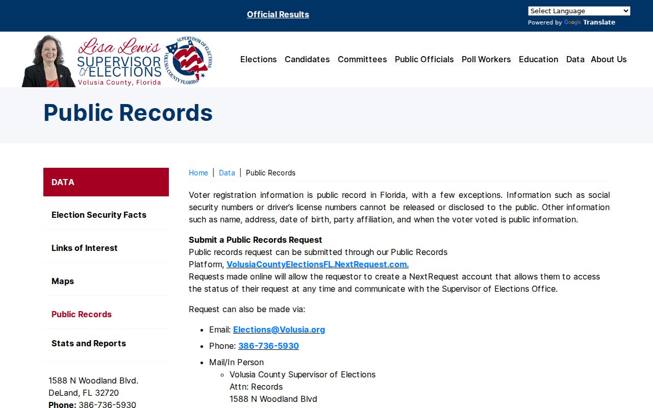
The captured page separates the public-file request from the identity-gated voter status lookup, which prevents treating the self-service form as a neighbor list.
The Volusia Elections request portal shown here can track a submitted records request and office messages.
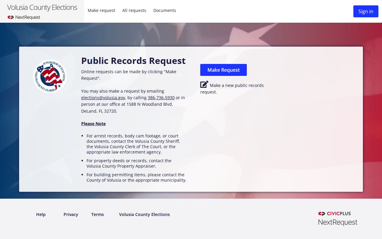
Any released file remains subject to statutory redactions. It can confirm registration at a disclosed address, not every resident or current occupant.
Edgewater Block Files Add Context
Nearby permits can supply project scope, owner or contractor applicant names, inspection dates, and certificates of occupancy. Edgewater's status function needs a known permit number, so an address-based search may require a request to Building. Code files can add a complaint, notice, hearing, and compliance timeline. These facts describe property events, not the private life of a household.
Map layers can place those files in civic context. Edgewater publishes separate views for corporate limits and annexations, Council districts, zoning and future land use, current development, capital projects, parks and trails, and code cases. County mapping can add voting districts and flood-related applications. Turn on only the layer needed for the question because several boundaries may cross the same block. A postal Edgewater label, city limit, subdivision, election precinct, and utility service area are different geographic systems. None can replace the parcel's deed or a legal survey, and none proves who occupies a nearby home.
For a record that is not posted, contact the City Clerk under Florida Public Records Law or the office that keeps it. The Edgewater staff directory shown below searches by category, first name, and last name.
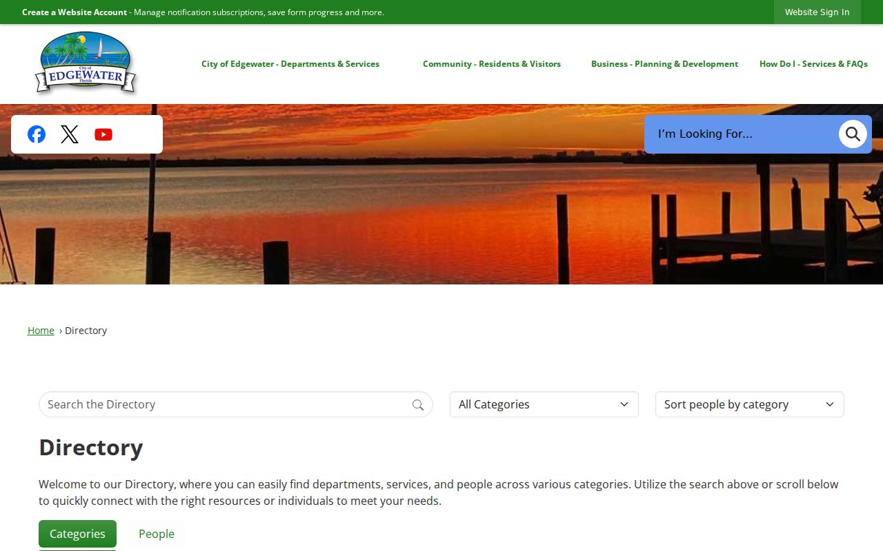
Its purpose here is to find the right city custodian, not to identify private Edgewater neighbors.
Edgewater Community Contacts, Not Rosters
A subdivision name on a parcel card does not prove an active homeowners association. Confirm an association through its own public materials, state corporation filings, and recorded declarations. Public contact information may help with neighborhood questions, but a member list is not automatically a government record and should not be assumed available.
Club Rio Homeowners Association
480 Rio Grande, Edgewater, FL 32141. The public page covers Hacienda Del Rio community contacts and events, but no public homeowner directory was verified.
American Legion Post 285
4497 US Highway 1, Edgewater, FL 32141; 386-210-4926. The official state listing gives public organizational contacts and meeting details, not individual member names.
The Club Rio association page is a verified local example.
The page helps identify a community contact while preserving the line between public association information and private membership.
Verify Edgewater Neighbor Matches
Commercial neighbor tools may combine old addresses, phone data, and inferred relations without showing when a fact changed. Official records are narrower but identify the custodian, date, field meaning, and correction route. Use the category only as a lead, never as proof.
| Source type | Useful strength | Key limit |
|---|---|---|
| GIS and parcel roll | Current parcel geography and assessed ownership | Does not list renters or every household member |
| City and voter records | Dated official fields with a named custodian | Purpose-specific access and protected information |
| Commercial compiled tool | May suggest a name or former address | Can be stale, merged, inferred, or hard to correct |
A strong match joins parcel geography, a current official date, and one independent record. If the sources disagree, report the conflict rather than choosing the more convenient result.
Protect Private Edgewater Neighbors
Florida's Address Confidentiality Program provides a substitute mailing address to qualifying victims and helps shield their actual location. Other protected classes can seek redaction under state law. A voter lookup may return the same not-found response for a protected record as for no Volusia match, so the response must not be used to infer registration or residence.
Utility customer data, delivery records, renters, family members, and unlisted occupants are not substitutes for a public block directory. A parcel map identifies land and assessed owners. An association page identifies its public contacts. Neither grants permission to reveal a protected address or assemble a private household roster.
Lawful use. Look up Edgewater neighbors for civic questions, reconnection, or personal safety awareness. Never use public records to watch, harass, intimidate, threaten, or expose someone.
Respecting a missing field is part of accurate research. Confirm only what the custodian releases, keep the source date, and correct a mistake through the office that owns the record.