
Walk an Edgewater Street from Address to Record
The strongest street directory trail moves from the modern address to a stable parcel identity, then outward to records that answer narrower questions. An assessed owner is not automatically an occupant, and a voter match does not describe a whole household. Keep a dated note of each source and its exact claim.
- Enter the situs address in the Volusia County Property Appraiser Public Access search. Copy the Short Parcel ID, Alternate Key, legal description, assessed owner, and latest sale reference.
- Search the same address or street in the county GRM viewer or Edgewater One-Stop map. Confirm the parcel and browse the same segment.
- Follow the latest sale reference to Volusia Clerk Official Records. Match the deed by legal description, not just a familiar name or number.
- Use the Supervisor of Elections request channels only for lawfully public voter fields. Its self-service form is identity-gated, not a street browser.
- For past occupants, check whether the relevant New Smyrna Beach volume includes Edgewater and has a true street-order section. The Edgewater city directory guide explains the historical shelf.
This sequence turns a street name into an evidence chain and prevents a tax-roll mailing address from being presented as proof of residence.
Search an Edgewater Street in the Volusia Property Roll
Public Access offers one combined box for a name, address, Alternate Key, or Parcel ID. Classic Search is more useful by street because Street Number can stay blank while Street Name and City are supplied. Add direction, suffix, ZIP, or subdivision when results are broad.
| Official field | Street-directory use | Format or caution |
|---|---|---|
| Street # / Dir. / Name / Suffix | Find one site or browse a street | Leave Street # blank for a segment |
| Unit | Narrow a multi-unit situs | Does not identify all occupants |
| City / Zip | Limit to Edgewater or 32132/32141 | Postal city and limits can differ |
| Short Parcel ID / Alternate Key | Return to an exact parcel | Copy the displayed key exactly |
| Subdivision / Block / Lot | Bridge to platted legal geography | Useful when an address changed |
| Owner Name | Confirm an owner variant | Use LastName FirstName; asterisk wildcards are supported |
| Property Class / Millage Group | Narrow a defined roll result | Never treat parcels as residents |
The result grid exposes Alternate Key, Short Parcel, Owner Name, Site Address, City, and property class. Select needed rows and open each card rather than treating similar addresses as the same land.
Read an Edgewater Parcel Card Without Overreaching
A parcel card connects the street directory to assessed ownership and recorded instruments. It separates property address from owner mailing address and can show legal description, values, exemptions, structures, and sales. A homestead exemption plus matching situs and mailing may be consistent with owner occupancy, but does not list every person there.
- Parcel
- A mapped land unit identified by a Short Parcel ID and Alternate Key.
- Situs address
- The physical taxable location, distinct from the owner correspondence address.
- Plat
- A recorded map organizing a subdivision into lots, blocks, streets, and easements.
- Criss-cross directory
- A directory arranged by street and house number; its presence must be verified in the volume.
A mailing address outside Edgewater can reflect an absentee owner, trust, or correspondence choice. It is a clue, not a conclusion about occupancy.
Browse Edgewater Parcels and Service Layers in GIS
Edgewater's GIS page links the One-Stop map and views for corporate limits, annexations, zoning, future land use, code cases, projects, parks, and services. County GRM accepts an address, tax parcel number, or street name. Results appear at left, while Layers opens map themes.
Start with one confirmed parcel. Zoom to lot lines, move along the street, click the next parcel, and carry its identifier to the Appraiser. Basemap layers include addresses, street names, parcels, lot numbers, cities, and water. They add context along the Indian River corridor, US 1 and South Ridgewood, and the Florida Shores grid, but are illustrative and not surveys.
The official Edgewater GIS page is the source for the map family shown below.
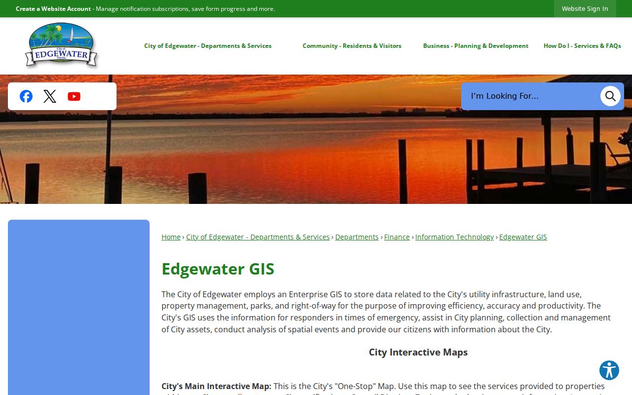
The captured page is the municipal starting point for choosing the map suited to an address question.
Which Edgewater Records Work by Street or Address?
Each address-keyed set has a different keeper and limit. A credible Edgewater street directory keeps those limits beside the useful fields.
| Address-keyed source | What it establishes | Access | Main limit |
|---|---|---|---|
| Property Appraiser | Assessed owner, situs, mailing, parcel keys, legal description and sale leads | Free web; DeLand office; 386-736-5901 | Owners are not all occupants |
| City/county GIS | Parcel geometry, lots, limits, zoning, land use and districts | Interactive maps or custodian request | Not a legal survey |
| Clerk Official Records | Deeds, easements, liens, judgments and plats | Online from April 4, 1988; Room A121 to 1887 | Not reliably indexed by street |
| Permits and code | Work, inspections, notices and compliance | Permit status or address request | Status tool needs permit number |
| Volusia voter data | Lawfully public registration fields | Portal, email, phone, mail, counter | Protected data excluded |
| Historical directories | Past names and addresses if street order exists | Library, State Library, Gale reels | Local reverse section unverified |
The parcel key joins roll and GIS. The legal description carries the chain when street labels are less stable.
Move from an Edgewater Street Number to the Deed
The Volusia Clerk search is not reliably keyed to address. Begin with the parcel card's acquisition reference, then use Official Records by name, instrument, book and page, document type, or date. A deed result can supply parties, roles, references, recording details, legal description, consideration clues, and a released image.
To move backward, open the current deed and search its grantor as a grantee in an earlier window. Repeat only after the legal description matches. Online index entries and released images begin April 4, 1988. Older Edgewater research moves to Room A121, 101 N. Alabama Avenue, DeLand, where media reach 1887. Staff assist with sources but cannot perform title searches. Printing a web image is free; certified copies cost $1 per page plus $2 per document.
This sample Official Records result demonstrates the instrument page used in a chain.
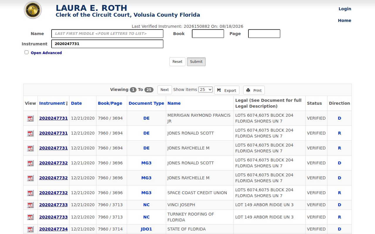
The captured result is a field-reading model, not evidence about another address.
Add Edgewater Permits and Code Cases by Address
City files can date the physical story. Building records may name work scope, an applicant or contractor, inspections, and occupancy approvals. The online status function starts with a known permit number, so a researcher with only an address should request an address-and-date search. Applications can go to BuildingDept@CityofEdgewater.org; Development Services is at 2140 South Riverside Drive, Suite 28.
Code records add notice, hearing, and compliance events. Official Records may separately hold notices of commencement or construction liens. A case supports a dated property account, but not an inference beyond the filed facts.
The Building and Permitting page explains the official channel.
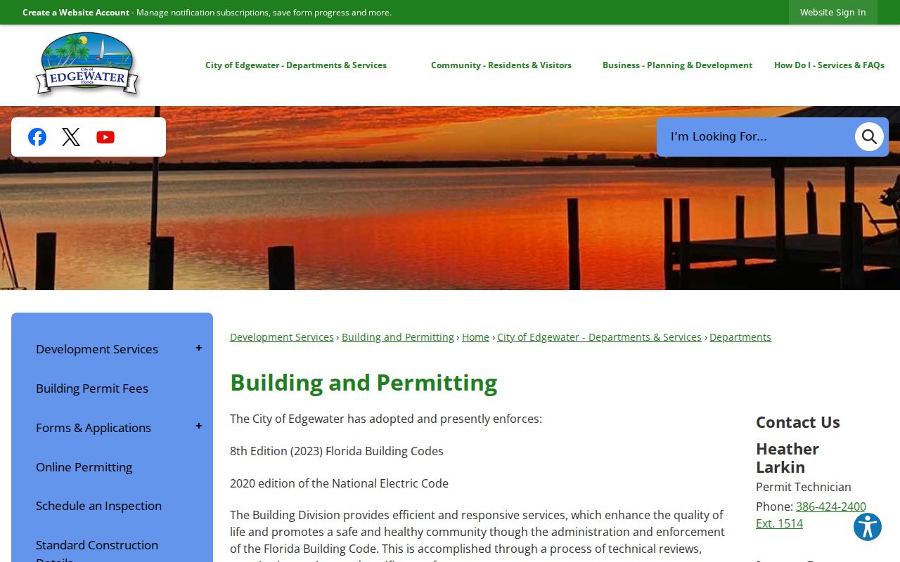
The screenshot identifies the municipal source to consult before a focused records request.
Edgewater Mailing Labels and City Limits Are Different Layers
An Edgewater label in 32132 or 32141 proves postal geography, not city jurisdiction. Compare the USPS result, parcel City field, and corporate-limit polygon. County metadata records city name and code, annexation ordinance, adoption date, year, and acres. Edgewater's city code is 14.
No authoritative citywide renumbering chronology was found. When a number or name shifts, keep lot, block, subdivision, plat, and deed description in view. Ask City Clerk or Planning for a specific addressing ordinance, annexation record, or street-name resolution.
Record geography. Postal label, city boundary, utility area, subdivision, precinct, and census area may describe different versions of Edgewater.
Read Earlier Edgewater Addresses Under New Smyrna Beach
The confirmed Gale directory run is titled New Smyrna Beach but explicitly includes Edgewater. Reels cover 1947 through 1960 with stated gaps in 1948, 1949, 1951, 1952, 1953, and 1955. An Edgewater-only catalog query can miss it, and a missing-year absence proves nothing.
A true criss-cross section is not yet verified. Inspect title page, scope, key, and contents. If street order exists, compare available editions, then pair 1950 with the public census. The historical page owns the shelf; here it serves only as a by-address tool.
Confirm an Edgewater Street with the Volusia Address Map
The county mapping route is valuable when the city map and tax roll use slightly different labels. Volusia Growth and Resource Management says its search accepts an address, tax parcel number, or street name, then puts results in a panel at the left. Search the full address first. If that fails, remove the unit or number and search the street name. A parcel identifier from the Property Appraiser is the best fallback because it avoids spelling and suffix differences.
Once the correct parcel is centered, inspect only the layers needed for the question. Parcel and lot lines show how the site relates to the street. The Land Use and Zoning group can add future-land-use and zoning context. City, highway, water, and street-name layers help orient a parcel near municipal edges or the lagoon corridor. The county warns that data comes from sources and scales that vary. It carries no accuracy warranty and cannot replace a deed, recorded plat, legal description, or survey.
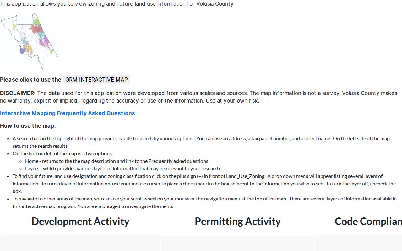
The captured county page is a second official mapping channel when an Edgewater street result needs parcel-level confirmation.
Check Edgewater Code Records Along the Same Street
Code Enforcement provides another dated address layer, but it should be read as a case file rather than a roster. A record may show the site, type of alleged violation, notice date, hearing step, or compliance event. Those details can corroborate that a parcel used a certain address at a certain time. They do not establish every occupant, and an open or past case does not justify claims beyond the recorded status.
Start with the address and parcel identifiers already confirmed in the roll and GIS. If the public map or research link does not return enough detail, send a narrow Florida Public Records Law request to the City. Include the property address, Alternate Key or Parcel ID, date window, and the record type sought. That is more likely to locate the right material than a broad request for every file on a street. For a permit or construction issue, route the request to Building instead, since each office maintains its own part of the address record.
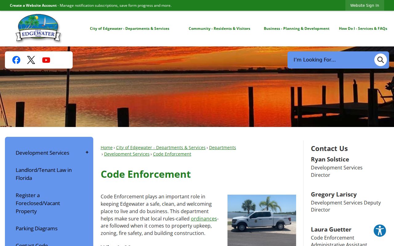
The image marks the correct city source for checking notices and compliance facts before adding them to a street directory trail.
Limits of an Edgewater Street Directory
A street directory cannot produce a complete household roll. The Appraiser names owners, not all residents. A trust may hold title. The voter page requires identity fields and CAPTCHA, while released files omit protected data. Utility and delivery files are not substitutes.
Florida's Address Confidentiality Program and other exemptions protect qualifying addresses. A voter response may intentionally avoid distinguishing absent from protected. Historical volumes have gaps, and modern numbers may not map neatly to old geography. State uncertainty instead of inference.
Lawful personal use. Use Edgewater address records for legitimate research and civic understanding. Never use them to stalk, harass, intimidate, or harm anyone.